Geographically, Kalibaru sub-district is a sub-district located in the western region of Banyuwangi Regency .
To the north and west it borders Jember Regency , to the south it borders Pesanggaran Sub-district . The height of the Kalibaru area is 428 meters above sea level.
Division of territory
Administratively, Kalibaru District is divided into 6 villages. Kalibaru District consists of 21 Hamlets, 107 Community Units , and 410 Neighborhood Units with a population of 61,525 people. [ 1 ] Six villages in Kalibaru District:
Banyuwangi Kajarharjo Kalibarukulon Kalibarumanis (Area 56.06 km²) [ 1 ] The Greater Kalibaru Kebonrejo (Area 88.55 km² or around 21.77% of the area of Kalibaru sub-district) .
Geography
Kalibaru District has an area of 406.76 km2 which is divided into 10 villages.
The area of this district is crossed by several rivers, namely the Kalibaru Manis River, Sumberbaru River, Terowongan River, Kajarharjo River, Telpom River, Pakem River.
Education
The number of state and private schools for elementary school level is 34 schools, for junior high school level there are 8 schools, for senior high school level there are 2 schools, and for vocational school level there is 1 school.
Religion
The distribution of the population of Kalibaru District based on religion shows that in 2011, the population that embraces Islam is the majority with a total of 60,823 people or 98.98% of the total population. The number of Christians is 326 people or 0.48%, the number of Catholics is 315 people or 0.46%, the number of Hindus is 61 people or 0.08%, and there are no Buddhists .
Kalibaru District has 373 places of worship consisting of 82 mosques , 288 prayer rooms , 2 Christian churches , no Catholic churches , 1 temple , no Vihara , and no Chinese temple .
Economy
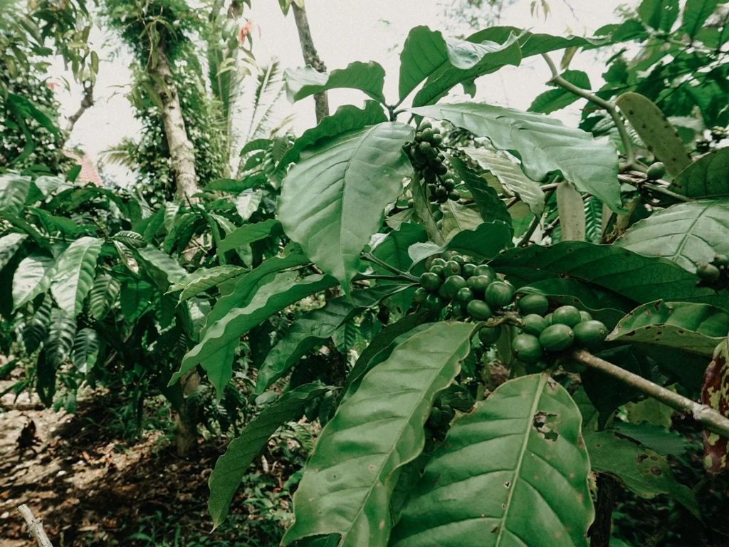
Agricultural SectorOne of the supporting factors for the running of the economy in Kalibaru District is the agricultural sector. The largest agricultural sector in 2011 was paddy farming . In addition, there is also secondary crop farming such as corn , sweet potatoes , cassava , peanuts , and coffee , clove , and coconut plantations .
The productivity of paddy fields in Kalibaru sub-district in 2011 was 21,724.83 tons with a planting area of 3,603 ha, while the productivity of corn plants was 1,980.64 tons, cassava was 1,944.43 tons, sweet potatoes were 1,657.27 tons and peanuts were 73.65 tons. For coffee plantations, the productivity was 1,160.07 tons, cloves were 12.06 tons, and coconuts were 206.68 tons.
Industrial SectorThe existence of processing industry companies also affects the economic life of the Kalibaru District community because it can absorb labor and as one of the livelihoods of the community around this industrial business. In 2011, data on Small Industry or Home Industry companies was recorded at 420 locations with the most businesses in Kajar Harjo Village, namely 144 locations. The largest small or home industry is the brown sugar industry .
Kalibaru District also has a center for making goods made of aluminum such as frying pans, pots, steamers and others, this center is known as Sentra Sayangan.
MarketThe existence of the market is very important, because in addition to driving the economy, the market also provides basic necessities for the surrounding community. In the Kalibaru sub-district in 2011 there were 2 Village Market locations (namely Kalibaru Wetan Market and Kalibaru Kulon Market), 1055 Craft Shops, 44 Building Materials Shops, and 11 Drug Stores or Pharmacies .
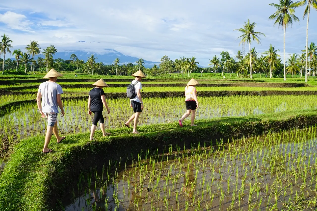
Tourism SectorIn 2011, the development of the tourism sector in Kalibaru District has not experienced many significant changes. As in previous years, the tourism sector in Kalibaru District still relies on natural tourist attractions because of their beauty. Some places that are tourist attractions in Kalibaru District are the Wonorejo Waterfall tourist attraction and the lorry tour at Kalibaru Station, all of which are located in the Kalibaru Wetan area . Because of its beauty, many foreign tourists visit and stay at several hotels in Kalibaru District.
AccessKalibaru District will be passed if traveling from Banyuwangi to Jember , Malang or Surabaya . From the direction of Banyuwangi City, Kalibaru District will be passed after Glenmore District . While from the direction of Jember Regency , Kalibaru District will be reached after leaving the Mrawan Route ( Mount Gumitir ).
Means of transportationIn Kalibaru District there is one train station, namely, Kalibaru Station . At this station the Pandanwangi , Tawangalun , Sritanjung , Wijaya Kusuma and Mutiara Timur ( Muttim ) trains stop .
Landscape and culture
Kalibaru District is one of the districts in Banyuwangi Regency that borders Jember Regency . The location of the border is on Mount Gumitir and is marked by a statue of a Gandrung dancer that says Welcome to Banyuwangi , precisely before the last bend on the east side of the Mrawan Route. Kalibaru District is passed by the southern coast of Java Island which is the only access between Banyuwangi and Jember Regencies .
The center of the Kalibaru District is in the Kalibaru Wetan Market located in Kalibaru Wetan City . In addition, Kalibaru District has tourist and rest areas such as the Margo Utomo Hotel, Kalibaru Cottages, Panorama Raung, and Jember Asri Hotel. Kalibaru District is also an area with many coffee plantations because of its location in the highlands. These plantations are the Malangsari Plantation (famous as a producer of Lanang Coffee , a type of robusta coffee with a distinctive aroma), [ 4 ] Glen Falloch [ 5 ] and Watulempit which are part of PTPN XII . [ 6 ] Nusantara XII Plantation (Persero) has a plantation tourist spot equipped with a restaurant and family playground.